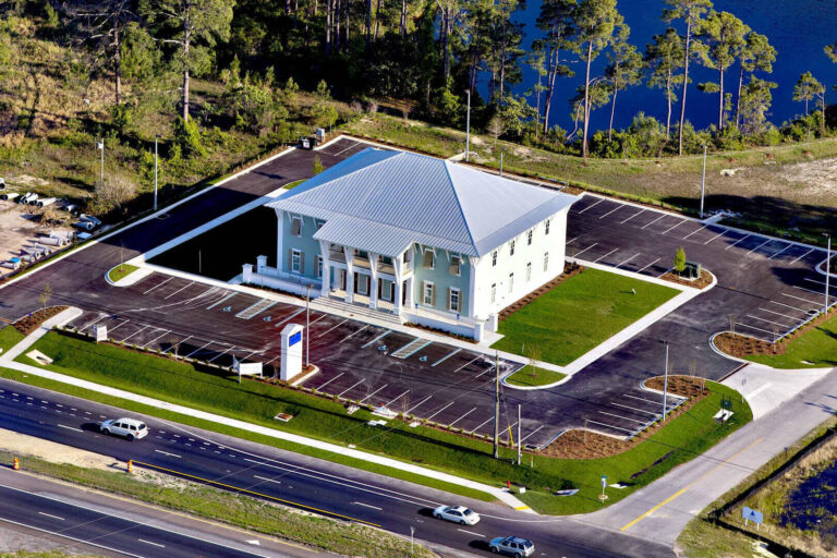
Panama City Aerial Photography
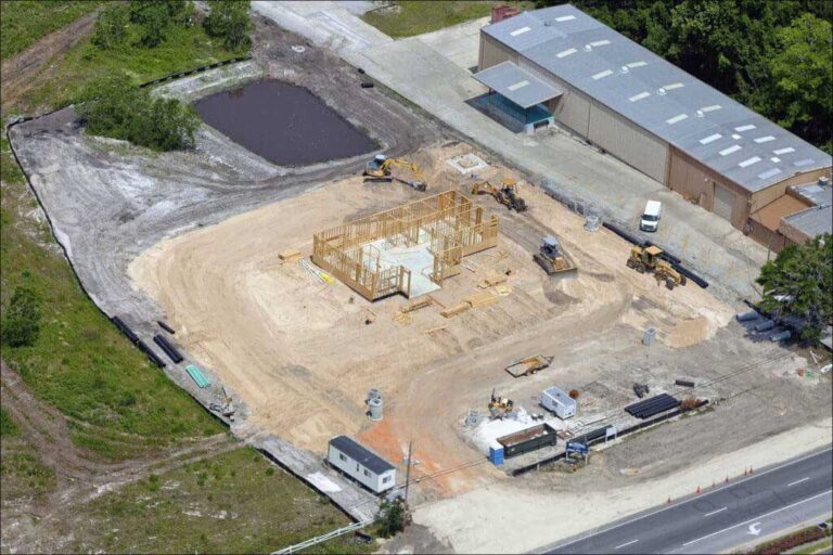
CONSTRUCTION SITE PHOTOGRAPHY
IA Aerial Photography construction site photography service offers scheduled and custom aerial photography of construction sites throughout all of Southern East USA. Used by banks, contractors, project managers, investors and advertisers our photos offer a 360-degree perspective of constructions sites from survey through completion. We provide consistent high-resolution imagery at scheduled intervals combined with print and digital delivery options for truly comprehensive aerial documentation.
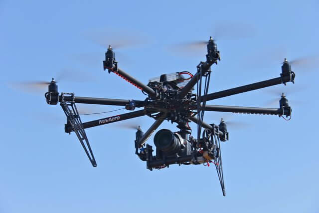
DRONE PHOTOGRAPHY & VIDEO
Drone Aerial Photography has become one of the most significant revolutions in the photography world. Drone photography helps in creating stunning aerial photos and videos without compromising the quality of the footage. If you’re looking for a way to make your production stand out, consider drone aerial photography to give everyone a stunning perspective of your product or company.
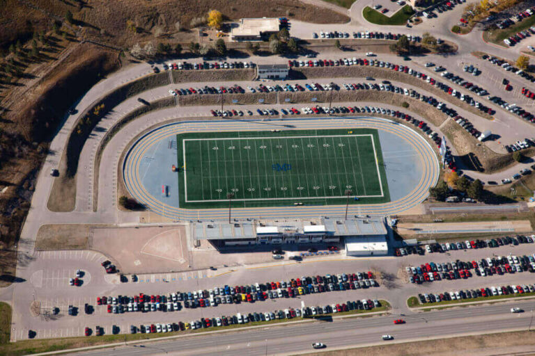
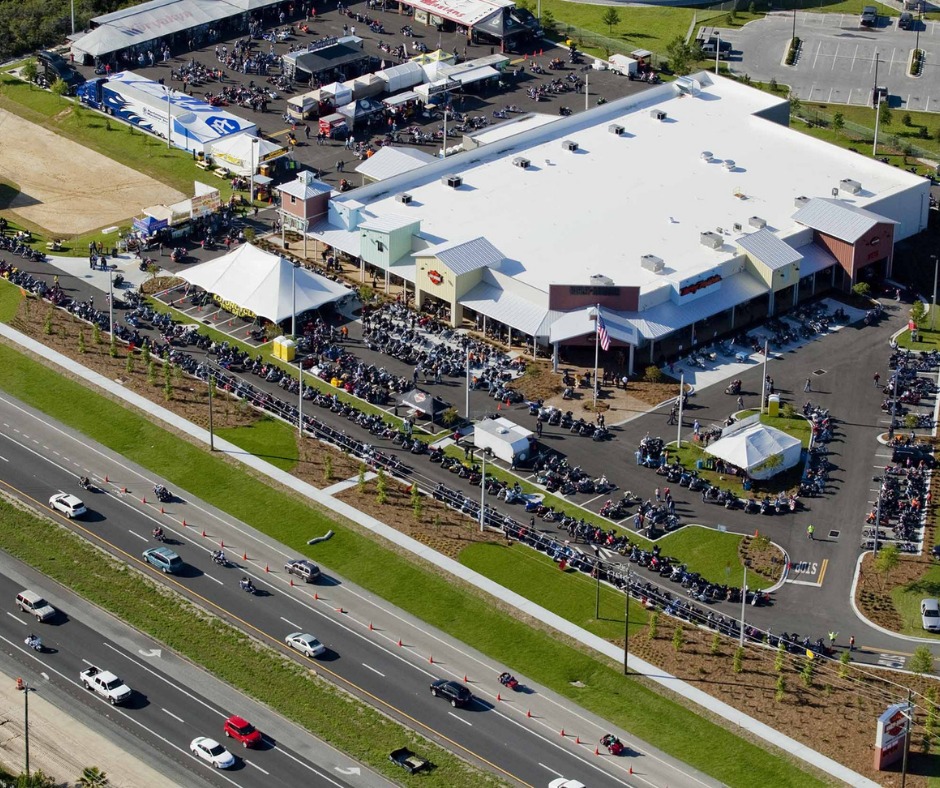
OBLIQUE AERIAL PHOTOGRAPHY
Oblique aerial photography is currently the most commonly used in the areas of emergency management and first response, operations, community planning, mapping for utilities, and property assessment. Our oblique images are captured using the highest resolution digital single lens reflex (DSLR) and medium format cameras available today.
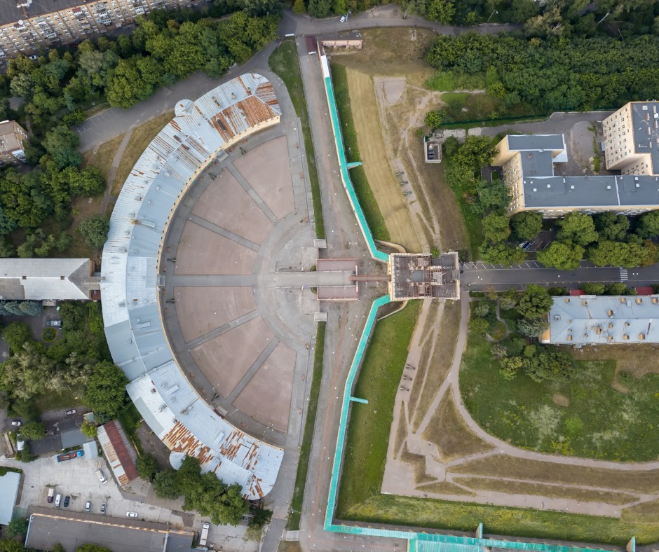
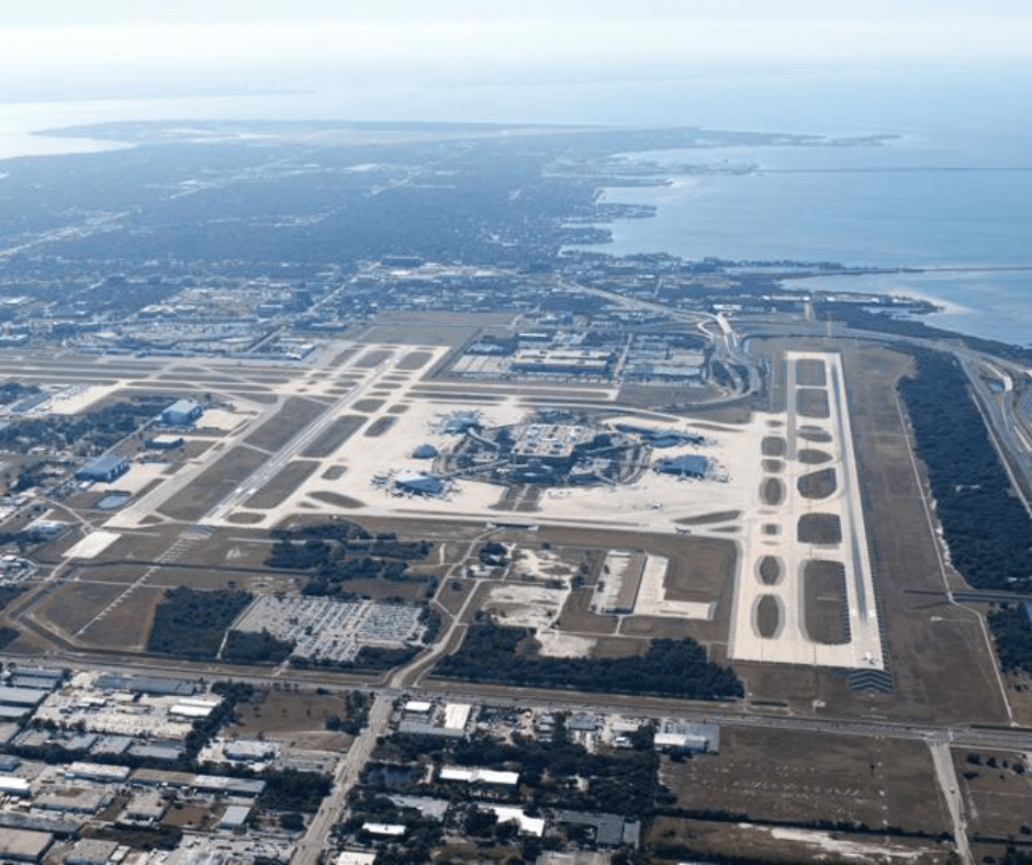
VERTICAL AERIAL PHOTOS
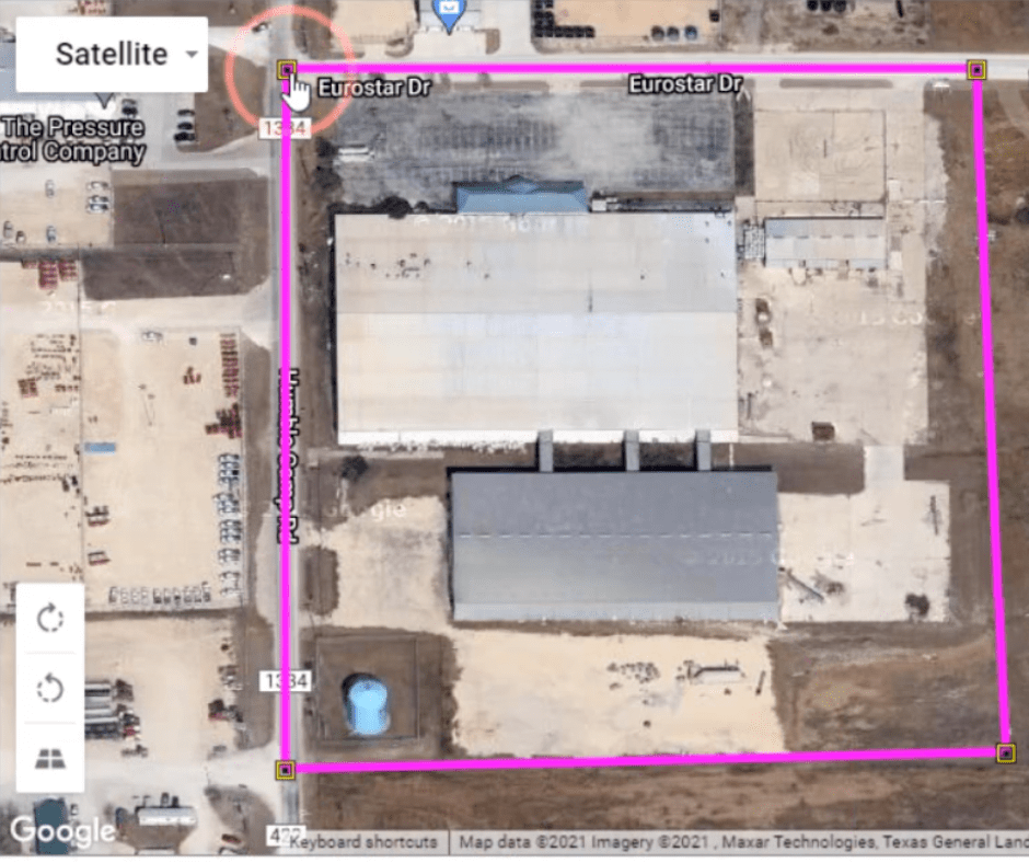
GIS (Geographic Information Services) We provide a full range of photogrammetry services. Orthophotos, Digital Elevation Models (DEM), Digital Terrain Models (DTM), Contour Maps, Volume Measurements, IA Aerial Photography, geo-references custom vertical images for use in most Geographic Information Systems including the following. Google Earth ESRI ARCG’s DeLorme XMap
UAS DATA
IA Aerial Photography specializes in high accuracy UAS data. Listed are some common use cases: Stockpiles BIM Integration Design Surface Take-Off Material / Volumetric Tracking ALTA Surveys * (when done in conjunction with a PLS) Topographical Surveys* (when done in conjunction with a PLS)
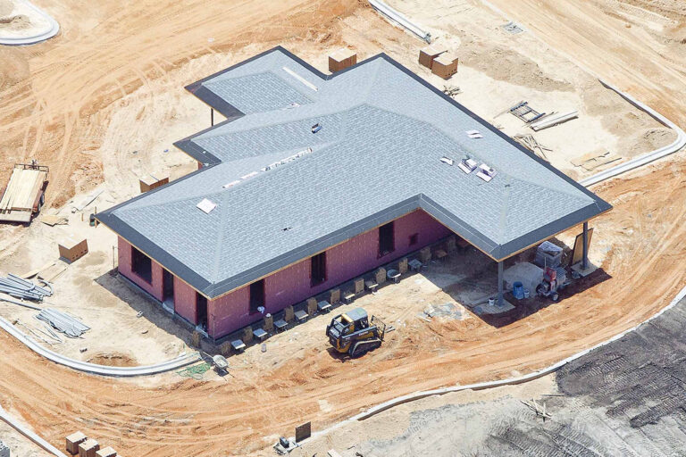
PROGRESS PHOTOS / MODELS / DOCUMENTATION
Progress Photos and Models are great material to utilize at OAC meetings or in monthly reports. IA Aerial Photography partners with Nira.app to bring full resolution models to the AEC industry. Please reach out if you would like a proposal for this service on your project!
DESIGN OVERLAYS
High accuracy design overlays can have an instrumental impact on all projects. Listed are some of the key areas that design overlays can be utilized on projects: -PT Deck Layout / Documentation MEP Wall Layout QC Slab On Grade Plumbing Penetrations / Layout Foundation & Wall Formwork QC Property and Site-Specific Information

Real estate drone photography
We are dedicated to helping agents and homeowners market their homes in the most professional way possible. We have photographed more than 1000 of properties with years of experience, state-of-the-art equipment, we will showcase your property like no one else.

Accurate Drone Solutions And Drone Services
IA Aerial Photography provides topographical and aerial site scanning data to the construction industry. This data can then be used in construction management software such as Agtek, BIM360, Procore, PlanGrid, and all CAD software. We also offer interior site scanning solutions for documenting building conditions and for use in BIM software. Aiming to always please the customer included are project progression pictures and video that can be used for advertising. The client is crucial to our success and we strive to exceed their expectations on every project." IA Aerial Photography provides full survey grade scan data for construction project monitoring, by using a suite of scanning and mapping solutions ranging . High accuracy design overlays can have an instrumental impact on all projects. Listed are some of the key areas that design overlays can be utilized on projects: